


Uttarkashi Cloudburst: Hotels and Houses Crumbled Like a Deck of Cards; Google Earth Captured the Scene of Devastation
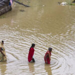
New Delhi – A massive cloudburst near Harsil in the Dharali region of Uttarkashi district, Uttarakhand, on Tuesday afternoon triggered sudden flash floods, claiming the lives of at least four people. Many others are feared trapped under the debris as the entire area now lies in ruins.
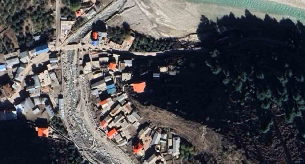
The devastation has been captured by Google Earth, clearly showing how hotels and houses that once stood firm are now completely gone. The area has turned into a flat expanse, littered with debris and rubble.
Catastrophe Strikes Just 4 km from Indian Army Camp
The landslide occurred around 1:45 PM near Dharali village, which is just 4 km away from the Indian Army camp in Harsil. Dharali is a key halt on the way to Gangotri and houses several hotels, restaurants, and homestays. Locals reported that the cloudburst took place in the catchment area of the Kheer Ganga river, triggering a devastating flood.
Chaos and Panic Spread Across Villages
As the water levels rose rapidly, panic gripped the nearby villages. People were seen running in search of dry land, while the powerful water current swept through the area. The air was filled with screams and cries of terrified residents.
Army’s Response
The Indian Army stated that its first response teams have already reached the affected area. In an official statement, the Army mentioned, “A massive landslide occurred in Dharali, which caused sudden debris and water flow into the settlement.”
Massive Damage in Dharali Market Area
Following the sudden rise in water levels, significant damage was reported in the local market area near Kheer Garh in Dharali. This prompted an immediate response from the police, fire department, State Disaster Response Force (SDRF), and the Indian Army to carry out rescue and relief operations.